

Weather update: Heavy Rain Watch for District
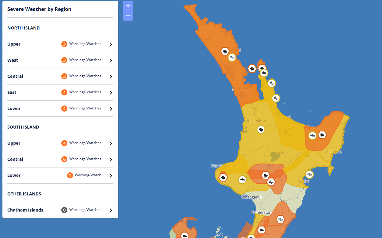
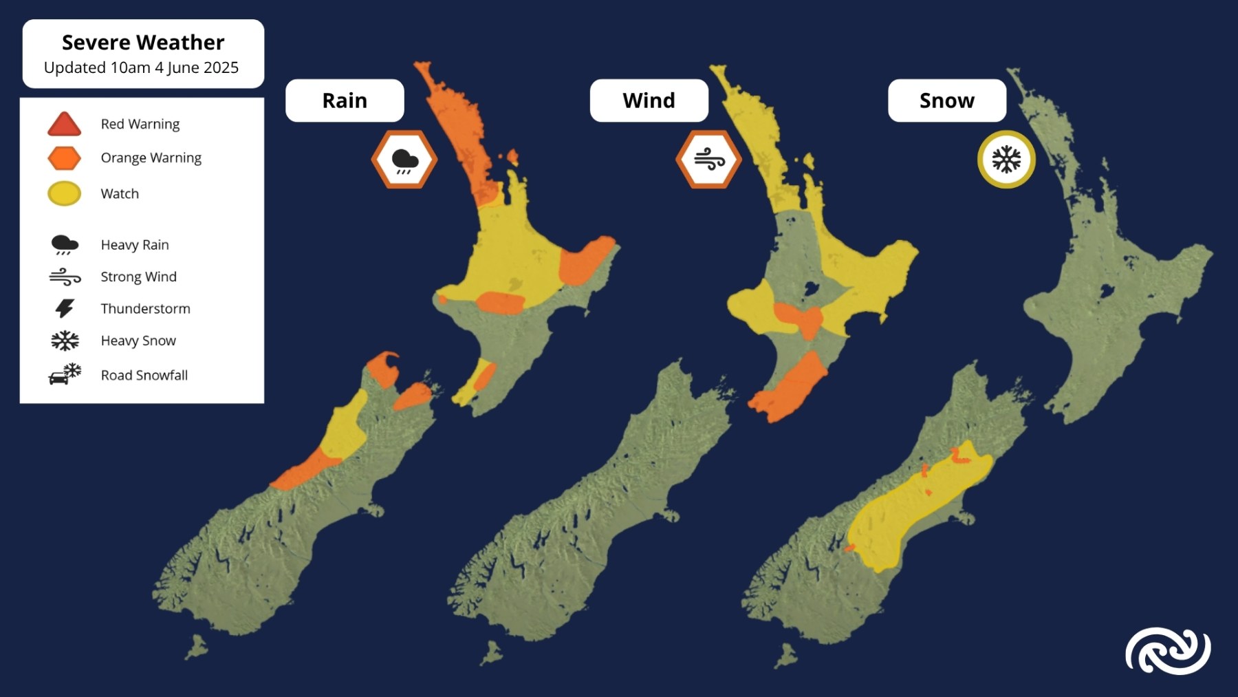
A weather front moving onto northern and central New Zealand today is bringing widespread rain and strong northerly winds.
While there are no weather Warnings and Watches in place for our District, there is moderate risk of thunderstorms from this afternoon onwards for parts of the North Island. This includes Northland, Auckland, Coromandel Peninsula, western Bay of Plenty, Waikato, Waitomo, the central high country, Taranaki, Horowhenua to Wellington.
Any thunderstorms that occur will likely bring heavy rain with intensities of 10 to 25 mm/h and strong wind gusts of 90 to 110 km/h, along with the possibility of a small tornado. There is also a moderate risk of localised downpours boosting rainfall rates to 40 mm/h from Taranaki and the central high country northwards. These downpours may eventuate regardless of whether thunderstorms occur or not.
We will be adding any new updates as we go. You can also visit the MetService website for the latest updates and warnings.

